Showing posts with label hiking. Show all posts

Wednesday, December 7, 2011

Tongariro Crossing, Taupo, Rotorua

The next phase of my journey was meeting up with Bernard and heading to the volcanic/thermally active central part of the North Island. Our first stop: the Tongariro Crossing, known sometimes as the best one day hike in the world! We have both been really looking forward to this hike for a long time so anxiety was running high when the weather looked worse and worse the closer to our hike day we got. Unfortunately our worst fears came true as the weather the day of the hike was even worse than predicted.

The Crossing goes across the volcanic area in the middle of the island between Mt. Tongariro and Mt. Ngauruhoe, aka Mt. Doom from Lord of the Rings. This is where Mordor from the movies was filmed, which is part of the reason for its fame, but also because it has weird and amazing scenery (on a sunny day). We spent the first two hours climbing up lava flows while the mist turned to rain. We’d hoped to go to one of the summits but because of weather this was out of the question. The weather turned into a full on rain and wind storm at the high point of the crossing and at this point we were so wet pictures, or even stopping, were out of the question because we were freezing. Hope was lost for the weather to turn around when we got to the Emerald Lakes, the coolest part of the whole hike, and barely even noticed them because it was so misty. From here we just trudged on down because we knew all the pretty parts were past and the weather wasn’t getting any better. It was a real letdown because we were both so excited for this trip but we vowed to come back and do it again one day so we can actually SEE the Crossing instead of just saying we did it.

View of Ruapehu and Ngauruhoe in the sun - the only one we got!


Ngauruhoe aka Mt Doom, if only we could have seen it or climbed it!


The lava fields of Mordor


This is when I became really depressed about our awful weather and how we could barely see anything :(


Crazy hiking outfits, I enjoyed feeling superior to these girls when I stopped worrying about them getting hypothermia

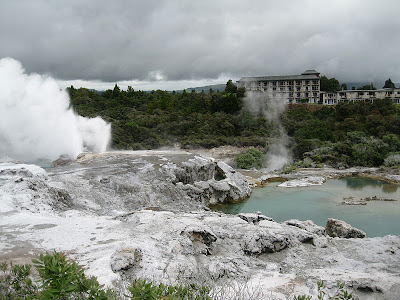
We left our disappointment in Tongariro and headed on to the sunshine at Lake Taupo, where we stayed and enjoyed fish and chips, a trampoline, and hot pools at our campground. The next day we headed to Rotorua, aka Rotovegas because it’s the most touristy spot in New Zealand, but this is rightly so because it has lots of really cool geothermal stuff to see like mud pools and geysers. The thermal pools at this campground weren’t half bad either!

A little sun in Taupo

Huka Falls


Rotorua


Despite weather setbacks we had a great holiday checking off a few New Zealand things Bernard hadn’t seen yet. From there he dropped me off at my new home near Rotorua to WWOOF (work on an organic farm in exchange for room and board) with Dahlia!

Tuesday, December 6, 2011

Mt. Egmont National Park

I met up with my mom and Dahlia to head off on a jaunt to Mt. Egmont National Park, more commonly known as Mt. Taranaki, on the western peninsula of the North Island. Our main aim here, not surprisingly, was to hike up the mountain as best we could! The mountain is 2500m/8200ft, 1600m/5500ft of which you walk over the course of only 6k/4mi (look at me and my conversions). Unfortunately it’s a little too snowy this early in the summer to make it to the summit without crampons so we decided we’d just go as far as we could to enjoy the views. Unfortunately, again, we were not blessed with good weather, but we trudged up anyway hoping for a break later in the day.

And let me tell you, this is one steep hike. The first hour was up a gravel road until it transitioned into a cement track referred to as “the puffer” – luckily this provided me enough amusement to make it to the hut that acted as our lunch spot. From there we scrambled over rocks before climbing up an estimated 1000 stairs. If all of this hadn’t been bad enough, the rest of the way to the summit was even steeper and involved two hours scrambling up an incredibly steep scree slope and trying not to slip. We’d been waiting out the weather all day and it wasn’t really getting any better so at this point we decided it wasn’t worth continuing if we weren’t going to get to see anything so we started to head back down, probably at about 1800m or 60% of the way to the top.

The puffer


The beginning of the infinite stairs

Annoying scree

So steep!

Sad to be turning back


Of course half an hour after we turned around a lot of the clouds cleared away so we soaked in the views and took plenty of pictures. The upper mountain was still pretty cloudy so this was our consolation for not being higher up when the weather broke. After that we enjoyed some snow sliding and then made our way down. The best part of this trip was the assurance we all got that, given the right season and weather, we could totally climb this mountain. Taranaki, I’ll be back for you someday!


Climbers coming down


Only real view of the whole mountain

Tuesday, November 22, 2011

South Island travels I: Routeburn Track


My mom arrived last week for a three week whirlwind tour of New Zealand, and luckily we have it worked out so I won’t be seeing anything I’ve already seen! In a lot of ways I saved the best for last, including the famous Milford Sound (on the cover of all the NZ guidebooks) and the Routeburn Track, allegedly the best out of all nine of NZ’s “great walks”. So we set off south through beautiful Tekapo, where I couldn’t resist taking pictures of the blooming lupine even though I’ve been there once before. From there we headed on to Queenstown, where we enjoyed checking out the town and some great food before getting ready to embark on our hike the next day.


Next stop, Routeburn Track! We drove out to the trailhead in the rain, dreading the possibility that we might spend the next three days cold and wet. But by some miracle the rain stopped right as we reached the car park and we barely saw it again for the rest of our hike! The first leg of our journey was short, only about 3 hours, and it paralleled a pretty river for a while before climbing through the forest up to Routeburn Falls Hut. The rain started up again about halfway through and turned to snow as we gained elevation so we were quite glad to get to the hut! Unfortunately the hut was freezing, stupid coal stove in the corner, but the ramen and reading and people watching kept us entertained.

Track profile - we walked from right to left

 Clean!


Crazy New Zealand water colors

Weather deteriorating but pretty anyway!

View from the hut after the blizzard stopped

On the second day the track climbs through the alpine section, which is at high risk for avalanches. We didn’t know this until we picked up our hut tickets in Queenstown but part of the track is still in avalanche danger so DOC is offering a subsidized helicopter ride across the short section of the trail that is unsafe. We had our hearts set on doing the whole track so we decided it was worth it and on the second morning we had a pretty hour-long climb up a snowy valley to where the track was closed. We waited for our helicopter at the gorgeous Lake Harris and soon saw what a slick system they have worked out. The helicopter ride was very short, just up over the ridge and back down, but it was still fun! The way they run their national parks is very different from what would, excuse the pun, fly in the states, but I tried not to consider the environmental effects of my tourism until I was done enjoying the hike. Sorry, dad.

View of Routeburn Falls Hut and valley below


Lake Harris


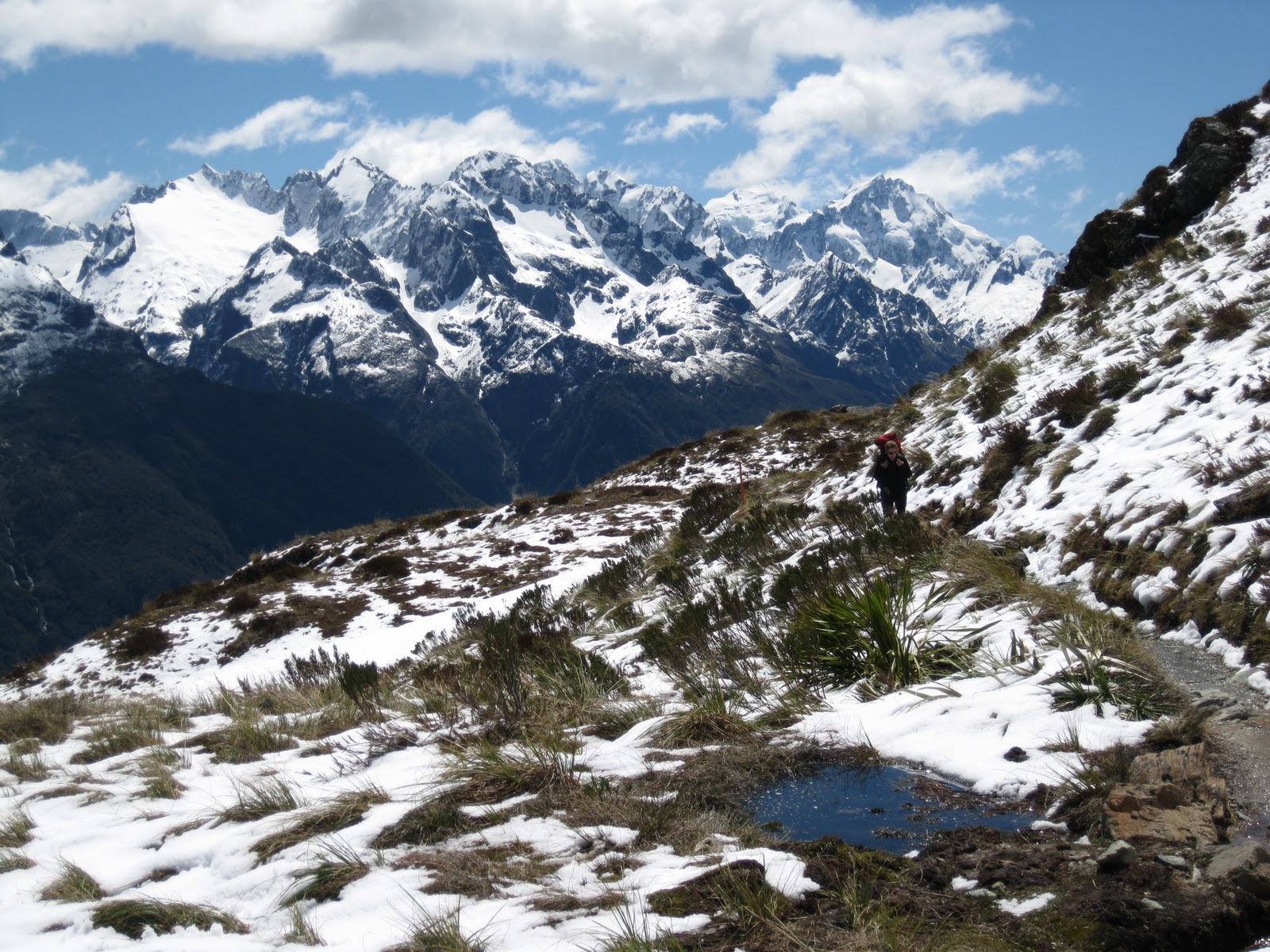
From Harris Saddle where we got dropped off there were amazing views of an open valley in front of us and mountains all around, which I soaked in as we hiked for the next few hours. Then we started winding our way down a side valley and soon we had a view of our next gorgeous destination – Lake Mackenzie. After an annoying downhill we were there! I feasted on ramen and then went outside to enjoy the sun. I don’t think I’ve ever had a more scenic spot for reading. These were some of the best hours I’ve had while I’ve been in New Zealand.


View of Lake Mackenzie and the hut

Gorgeous Lake Mackenzie

Crazy NZ water

Best reading spot ever, totally worth the sunburn


View from my spot

The last day of the hike was mostly in the forest and pretty but not notable aside from the big waterfall we passed and the pretty Lake Howden on the way out. After four hours my feet were finally feeling the strain of 34km of hiking and I was very happy when we got to the car. Overall, though, this was one of my best hikes in NZ – good weather, good spirits, little pain, amazing scenery. Two great walks down, seven to go!

Earland Falls

Lake Howden

Done! and apparently lost my eyebrows and got a lot uglier on the way.